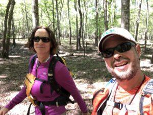
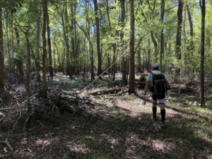
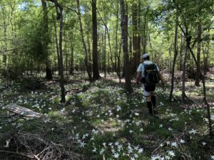
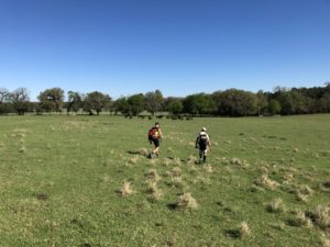
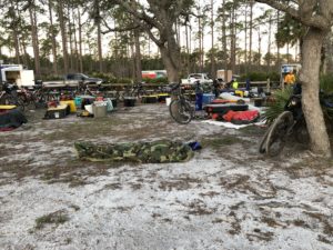
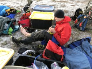
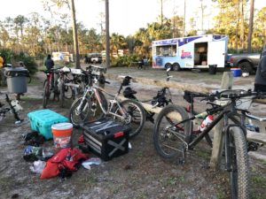
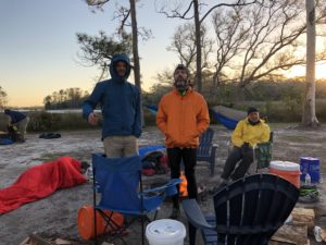
I did my first expedition style adventure race (3-days+) back in 2004. Back then it was known as the Coast to Coast, hosted by Adventurous Concepts. The last C2C that I did (my sixth in a row) was in 2010. After that I decided to take a break from the race, while I continued to do other races. Fast forward to 2016 and 2017 when I volunteered for the Sea to Sea race hosted by FLX. Volunteering was fun, but watching the teams come in and out of the transition areas definitely got me excited about the race again. So after the 2017 race I called up my race partner, Lori Gabbert, and asked if she wanted to do another C2C race. We registered right away.
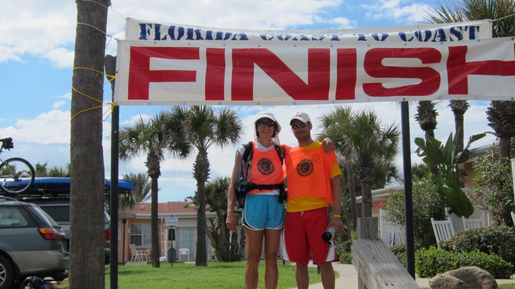
The 2018 Sea to Sea…
At 5:45AM on Thursday morning March 1st, we boarded a bus that would take us across the state to Steinhatchee, FL, where the race would start. As we boarded the bus we were finally given our maps.
Race Prep
As any adventure racer can tell you, one of the most important parts of a race is going over the maps and planning your routes and strategies. On most races we only have to deal with a small handful of maps, but for a race of this magnitude it takes a lot of maps. That’s 42, 11″x17″ maps to be exact (not counting the couple we got while on the course).
If you want to see the actual maps we got and used for the race, you can find them all here.
Weeks before the race I had spoken to Ron Eaglin and we had decided to try and do the race together. Lori and I were of course racing as team Nature Calls. Ron was racing with Jonathan Perkinson as team Almost Good’Nuff. They had started out as team Lost, Fat, and Ugly (or something like that) but decided to change their name.
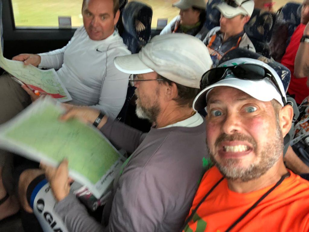
So as the team navigators, Ron and I sat next to each other on the bus so we could work on the maps together. We had about a 3-hour bus ride across the state, and it would take almost all of it for us to go through all 42 maps.
Steinhatchee, FL
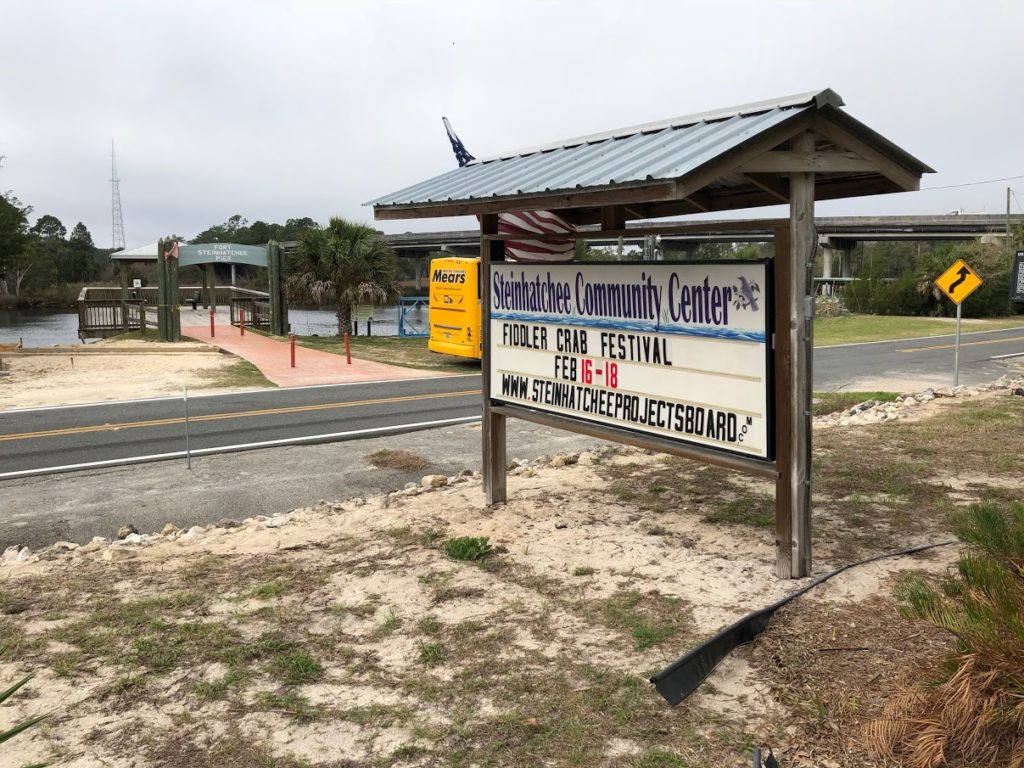
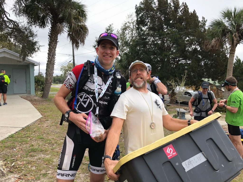
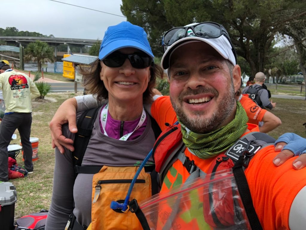
At around 9:30AM we arrived in Steinhatchee. Now we had about 30 minutes to get our gear and get ready to start the race. As you can imagine, the bathroom line got pretty long. Finally, after a quick pre-race meeting and some final notes, at 10:13AM we started the race.
Trek 01 (1.7km / 1.1 miles)
[map 01]
The race started with a very short run (1.7K) down to the Steinhatchee boat ramp.
Paddle 01 (6.2km / 3.8 miles)
[map 01]
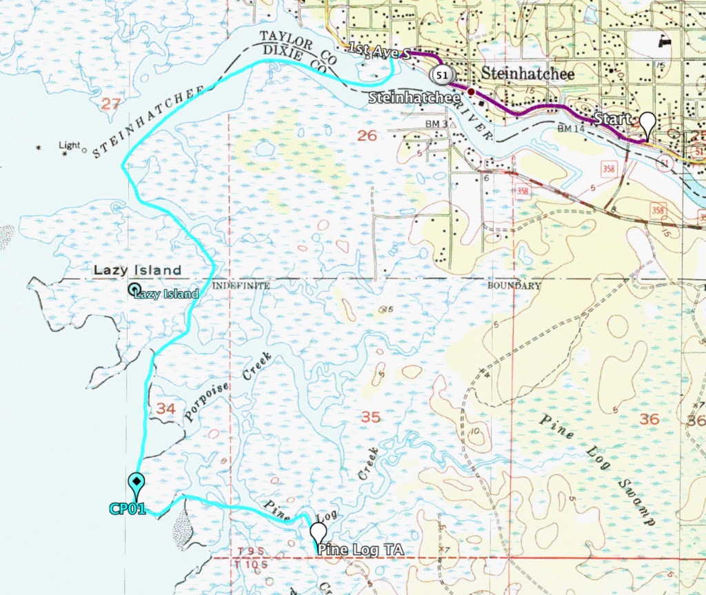
After our short run we arrived at the Steinhatchee boat ramp and quickly transitioned to the canoes for what would turn out to be a short (6.2K), but tough, paddle down to the Pine Log TA.
The paddle had us heading out into the Gulf of Mexico where there was a nasty wind of out the southwest which made the conditions fairly tough. We only had one checkpoint to collect along the way and because of the conditions most teams stayed fairly close to each other.
Bike 01 (27.5km / 17 miles)
[map 01, 02, 03]
Most teams arrived Pine Log TA at the same time. This was the first true transition of the race. Here we changed out of our paddle gear and into our biking gear as we were about head of on a 27.5K bike ride.
We transitioned quickly and off we went on the first bike leg, looking for three CPs along the way.
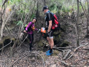
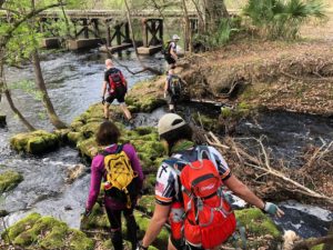
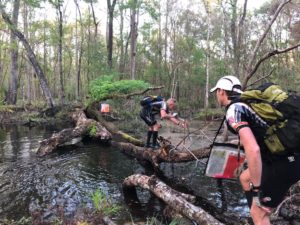
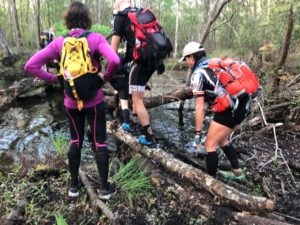
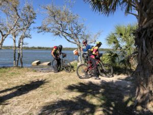
Not long into our ride we came across our first water crossing. There was a canoe there in case any teams wanted to use it to try and stay dry, but as you can see by my photos below, most of us chose to just jump into the creek with our bikes and cross it on foot.
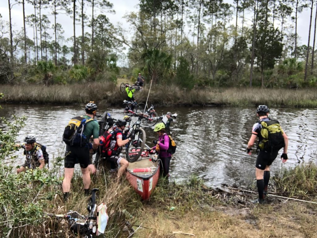
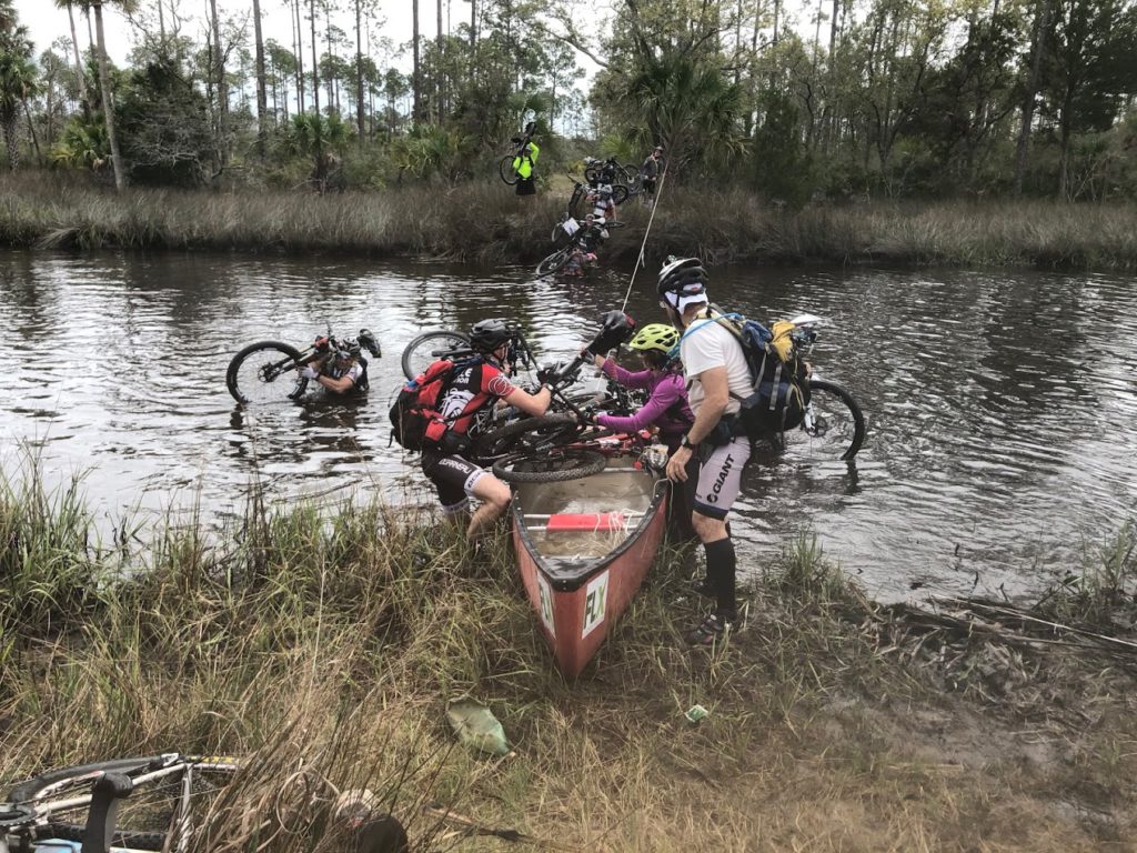
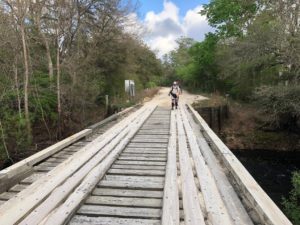
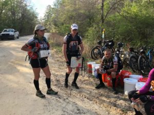
Finding CP02, CP03, and CP04 was pretty easy. Our navigation was on point and we had no issues. The bike ride allowed us to set a good race pace, which we would maintain for most of the race. A few teams joined us during this section, which made it more fun. At around 1:28PM, we finished the first bike leg and arrived at the Tennille TA (sorry I misspelled it on the photo below).
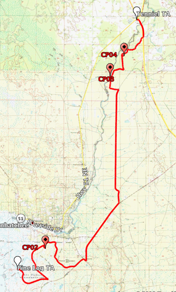
Trek 02, part a (13km / 8 miles)
[map 03]
The Tennille TA was at a gas station, so we took the opportunity to grab some snacks and drinks. Then we quickly put on our trekking gear and headed off on foot for the first real trekking section of the race. This was going to be a two part trek, with one small transition in between. We knew we would be trekking into the night, so we packed accordingly. Remember that this was the first weekend in March, and it was cold that weekend!
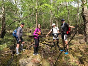
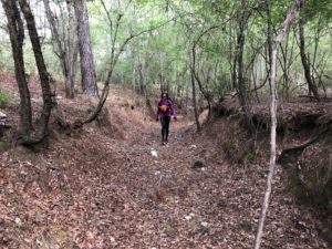
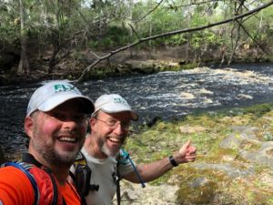
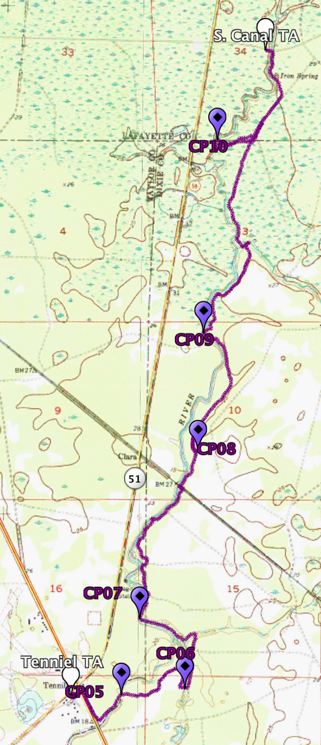
On this section we had six CPs to find, most of them along the Steinhatchee River. Needless to say the trek was beautiful.
CP08 gave us a bit of a hard time. We found it after about 10 minutes, but we had to backtrack just a bit as we had passed it.
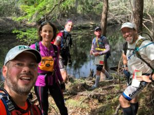
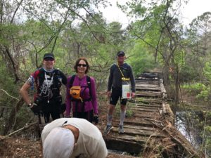
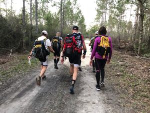
During this section we hooked up with John of team Better Late than Never, one of the few solos in the race. John would end up racing with us for many parts of the race. Also joining us was Jesse, Dalton, and Kristin of team Ad House Adventure. All eight of us trekked together and arrived at the Canal TA at about 5:00PM.
Trek 02, part b (14km / 8.7 miles)
[map 03, 04, 05]
At the Canal TA we quickly filled up with water, sat for about 5 minutes, before continuing our trek. On this next section we had just two CPs to find.
CP11 and CP12 were quite easy to find. The navigation on this trek was pretty straight forward and we spent most of the time getting to know Jesse, Dalton, and Kristin whom I had just met. John had decided to ‘buy’ his bike at Canal TA, so he was not with us at this point.
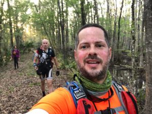
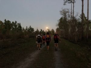
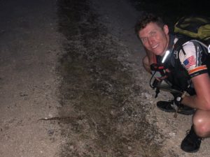
As daylight faded we were greeted by an awesome full moon. I tried to get a photo but the phone just doesn’t do it justice. We also came across a water mocassin that was crossing the trail. It was Jesse who spotted it. Turns out that he is basically a snake expert, so we spent the next hour or so talking about snakes. It was very cool. Trek 2 a and b were definitely one of the most entertaining sections of the entire race.
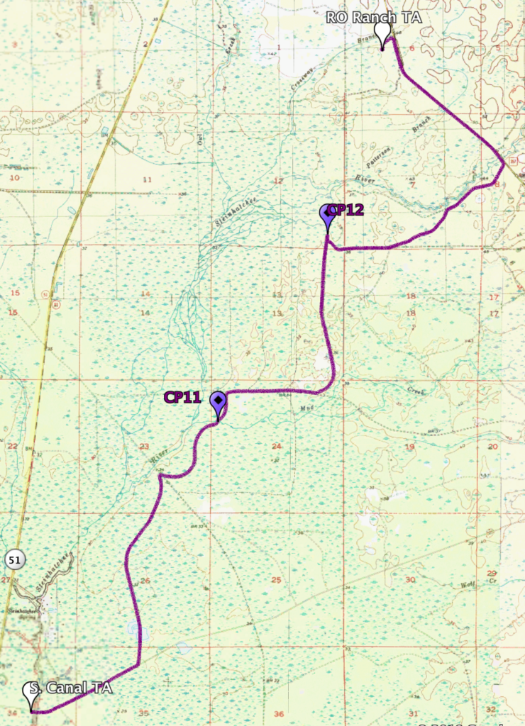
We finished the trek and arrived at the RO Ranch TA at around 8:00PM. And now it was time to bike again. We had just finished what was basically a 17 mile trekking section, so we were definitely ready to get off our feet for a while.
Bike 02 (65km / 40 miles)
[map 05, 06, 07, 08, 09, 10, 11]
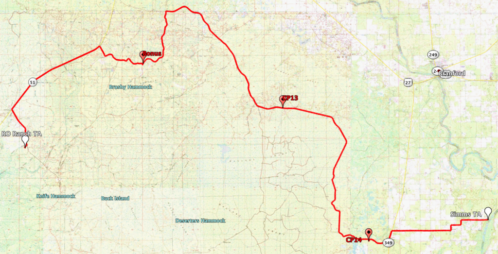
At the RO Ranch TA we once again filled up with water and food. We changed our socks, and put on some warm clothing. We had a long bike section ahead of us at night, and we knew it would get cold. We only had three CPs to find during this long bike, which meant long sections of just riding.
Once again our navigation during this section was pretty spot on. Finding our route and the CPs was no issue. But it was at some point during this ride that my stomach started giving me issues.
We had separated from team Ad House Adventures, but halfway through the ride we hooked up with Kyle and Nathan of team All Toenails Go to Heaven. Kyle and Nathan are brothers, and both very cool guys.
As is usual when teams hook up, we helped and encouraged each other along the way. At one time it started raining, which brought the already cold temperature down. It was in the mid 40s that first night, and it would get colder as the race went on. Thankfully it didn’t last long. It was shortly after this that my stomach had enough, and I had to do some refunding. After that, I felt great!
Unfortunately I don’t have any photos or videos from this section because as I said, I was not feeling great, so taking photos was not on my mind. But at around 12:30AM we arrived at the Simms TA.
Paddle 02 (35km / 22 miles)
[map 11, 12, 13a]
At Simms TA we ate and changed. Lori, Jonathan, and I closed our eyes inside of a U-Haul truck for about 30 minutes. I say closed our eyes because we did not sleep, we simply rested. While the three of us were in the back of the truck, Ron was getting everything ready for our long paddle ahead. At about 1:15AM we headed off on canoes down the Suwannee River.
The Suwannee River is a beautiful river during the day, but at night, it is even more beautiful. And to make it even better, we had that awesome full moon lighting our way the entire time. We barely had to use our headlamps.
Along the way we had three CPs to find. But we had already decided we would skip CP17 because it was so far out of the way. Once again, finding the CPs was easy. The hard part was staying awake.
We were all pretty tired and the sleepmonsters were coming after us hard. But we kept on pushing and just as the sun was coming up we arrived at the Hart Springs TA.
It’s amazing what an energizing effect the sun has. At one moment you are so sleepy you literally can not keep your eyes open, and as sun as the sun peaks it’s head over the horizon, it’s like getting a shot of adrenaline, you are immediately wide awake.
Again, I didn’t take any photos or videos during this section. Sorry about that.
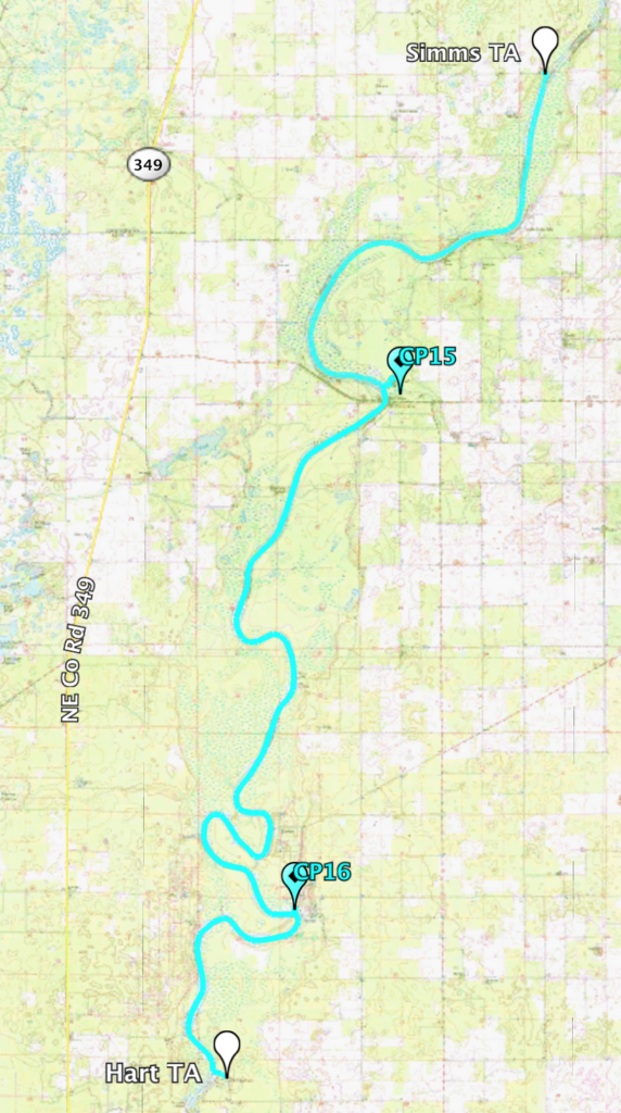
At about 6:30AM, on Friday morning, we arrived at Hart Springs.
Hart Foot (5km / 3 miles)
[map 13b]
At the Hart Springs TA the race organizers were kind enough to have hot chocolate waiting for us. As small as this sounds, this was great! We had just come off a 5.5 hour night paddle in mid 40s weather, so we were a bit cold.
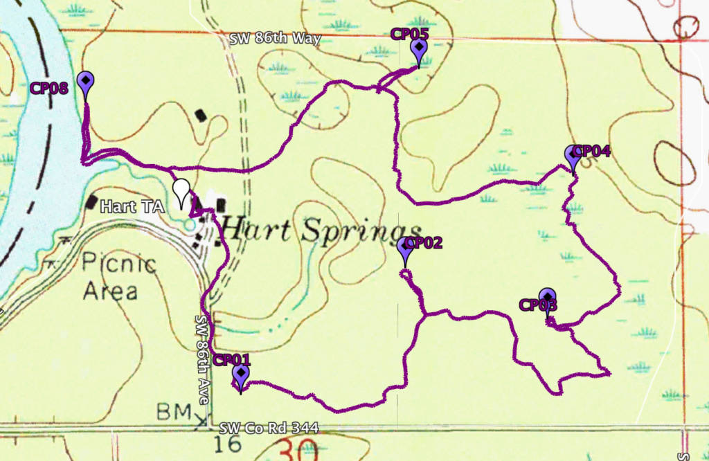
We took about 30 minutes to change into warm clothes, eat, and also plot some UTM coordinates for a short orienteering course we had to do there. At about 7:15AM we started the o-course which took us around 1:30 to complete. And we saw some hogs.
Bike 03 (40km / 25 miles)
[map 13a, 14, 15, 16, 17]
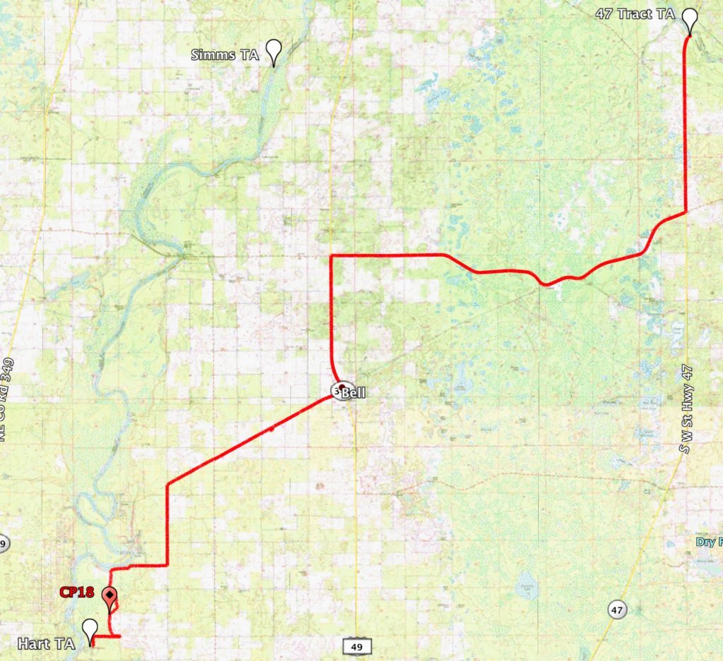
We left the Hart Springs TA on our bikes on our way to the 47 Tract TA, looking for CP18 and CP19 along the way.
We found CP18 quite easily, and shortly after that the race director, Craig, drove up and pulled us over to the side of the road. He explained to us that the course had been altered. He told us to skip CP19 and go directly to the 47 Tract TA. At that TA we would be given further instructions.
On an expedition style race like the S2S altering the course is normal. A number of issues can arise and the race director has to make a decision on the spot in order to keep the teams moving forward. This was one of those times.
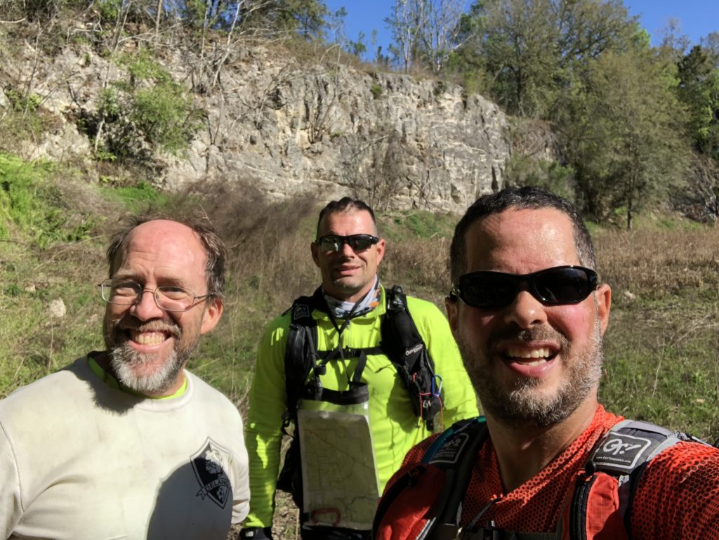
So together with a couple more teams (like team Xterra) we formed a bike train and hauled butt up to the 47 Tract TA. We had to be there by 1:00PM in order to make the cut off and be allowed to go get CP20. We made it with exactly one minute to spare.
Trek 04 (4.5km / 2.8 miles)
[map 17]
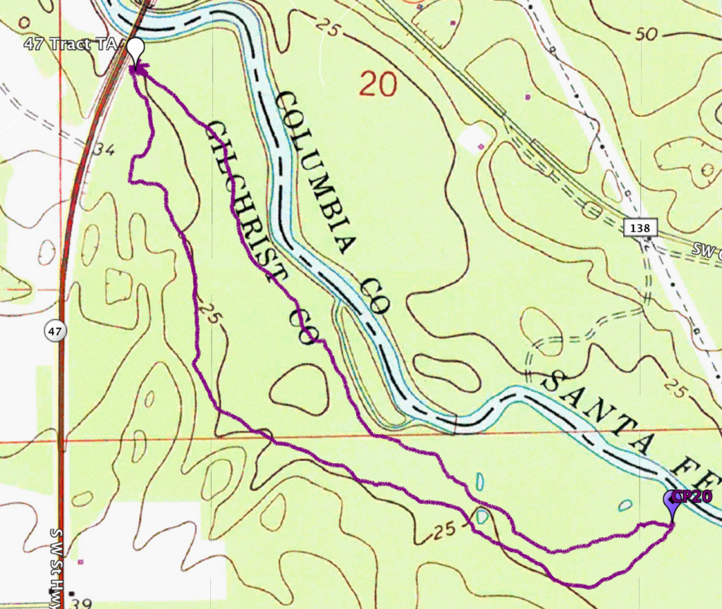
At the 47 Tract TA we were informed that all the teams would be allowed to go get CP20 on foot, but then we would all be skipped around the following two legs because of the windy conditions. Did I forget to mention that it was windy as hell?
So off we went on foot to find CP20 which was along the Santa Fe River. It was a short and beautiful trek.
Skipped Legs
[map 17, 18, 19, 20]
Apparently the front teams had informed the race organizers about the tough windy conditions on what was to be our next bike and paddle sections. So in order to keep the teams from spreading far apart, the RD decided to skip us all around those two legs.
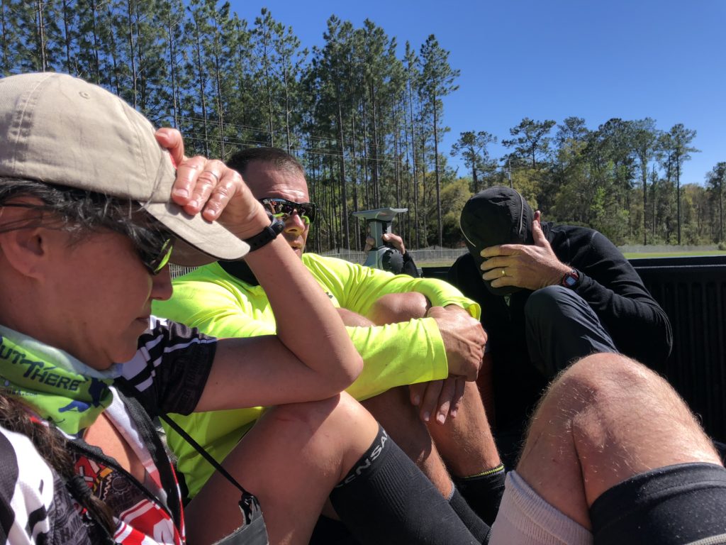
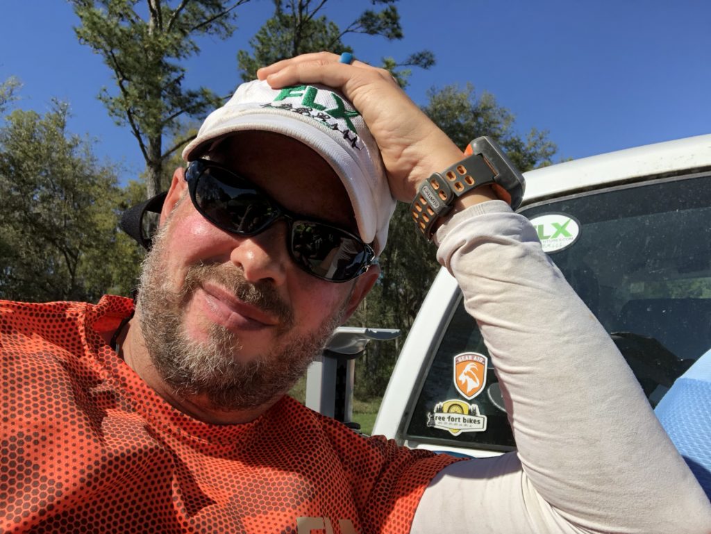
This was awesome news for all! Everyone piled up into a few trucks and we were driven to the Santa Fe TA. However, on the way, we asked the awesome driver of our truck, Catherine, to please stop at a convenience store for us. She did.
And we ate. Man did we eat! The location where she stopped was right downtown Fort White, FL. There were two gas stations and a Subway. I immediately ran to the Subway. The others got hot dogs, pizza, and other goodies form the gas stations. We were happy! Then we piled back into the truck and continued to the Santa Fe TA.

Trek 05 (9km / 5.5 miles)
[map 20, 21]
Sometime around 3:00PM we all arrived at the Santa Fe TA, and we wasted no time getting ready to head out on our next leg.
This was going to be a short trekking leg with three CPs to find along the way. Once again John of team Better Late Than Never joined us, and off we went.
Finding the three CPs was no issue and just as the second evening of the race was starting, we arrived at the next TA.

Bike 04 (75km / 47 miles)
[map 21, 22, 23, 24, 25, 26, 27, 28]
For me, this was probably the worst point of the race.
We started this bike ride in the early evening. We knew we had a long way to go, and we settled into a nice riding pace. We also knew that we had a long part of the bike ride along a rail trail. What we did not know is how bad that portion of the ride would be.
Our ride from the TA to CP30 was uneventful. We joined with a few others teams and we were having a good time.
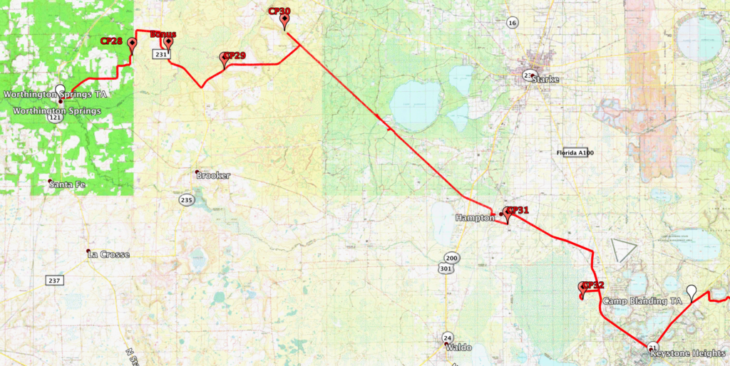
Then we hit the rail trail. A rail trail is an abandon railroad track that is converted for hiking or biking. Most bike trails you see around the state of Florida are old railroad tracks. Usually, most rail trails are paved, this one was not. Not even close. It wasn’t even a smooth riding surface. It was a brutal grassy and bumpy trail. The entire section you see on the map below, from CP30 to CP31, was this way.
To make matters worse, there was an insane amount of deadfall along the trail. For those of you that don’t know, deadfall are fallen trees and other debris that block the trail. In most cases, getting around deadfall is a matter of simply getting off your bike and picking it up over a log, or going around it on the side. Nope, not here. The downed trees here were not only massive in size, but they covered the entire trail straight across, and there was no way to get around them. Plus, it wasn’t just one tree here and one tree there, most of the times there were two, three, or four trees downed right next to each other. Getting yourself over the trees was bad enough, trying to do it while carrying your bike was flat out brutal. In a couple sections we had to form a line of racers passing bikes along like an assembly line. I honestly can’t believe that I didn’t get any photos or videos of this. But frankly I was so worn out and it was so much work, that taking out my phone was the last thing on my mind.
Finally, eventually, we made it off the rail trail near a town called Hampton. In Hampton we spotted an open convenience store and we made a beeline for it. The store was literally about to close but the owner was nice enough to let us buy some food and drinks first. Man did that feel good! I can’t even remember what I bought, but I know it was delicious!
From Hampton we continued on, finding one more CP on our way to the Camp Blanding TA. On our way to the TA Jonathan got a flat tire that we could not fix. He limped to the TA where we took time to fix it properly.
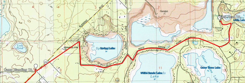
At the Camp Blanding TA we were supposed to go off on foot for a short trekking section that would lead us to the Gold Head TA. But we decided we would skip that section, as did many other teams. So we continued on bike straight to the Gold Head TA, where we were planning to get our first sleep of the race.
SLEEP (and FOOD)!!!
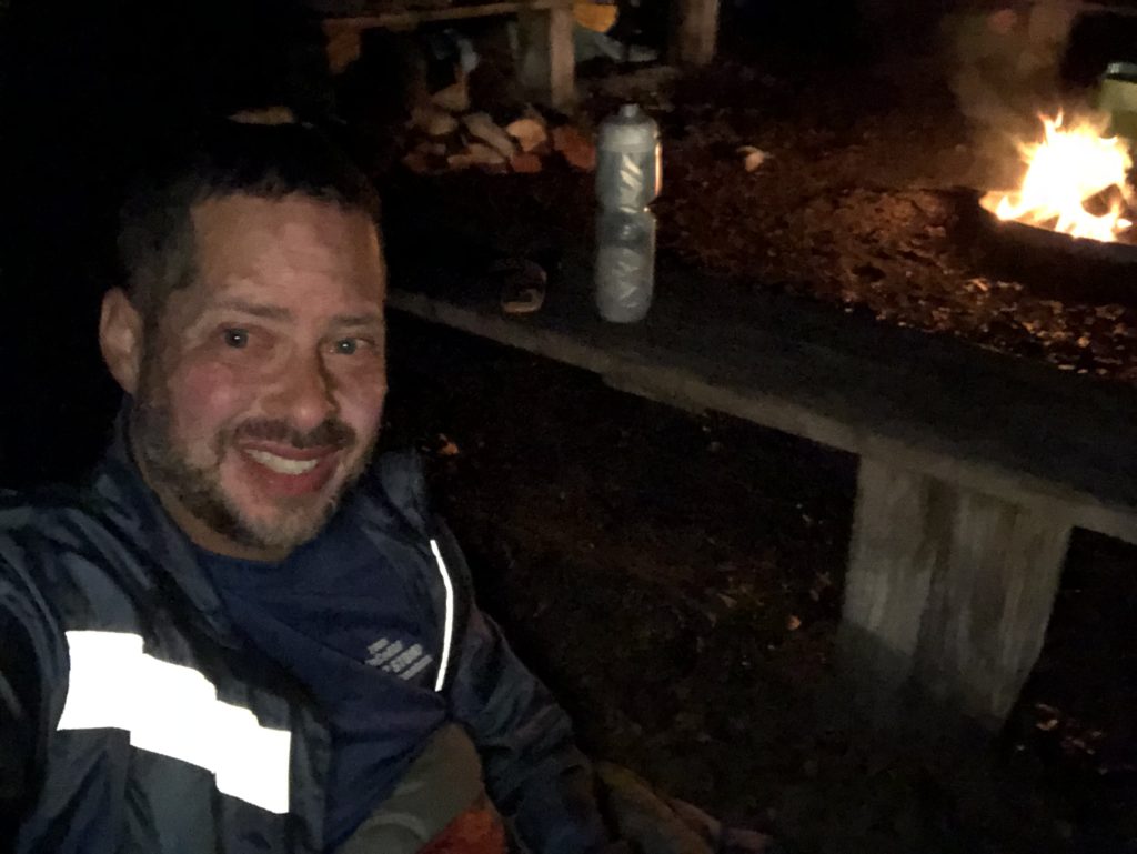
We arrived at the Gold Head TA sometime around 1:30AM on Saturday morning. It was cold, but luckily the race organizers had a fire going.
Also, there was a food truck there, still open, and still waiting to take our orders. The food truck was Sandy Bottoms out of Daytona Beach. If you ever have the luck of running into them, get something from them. Their food is amazing!
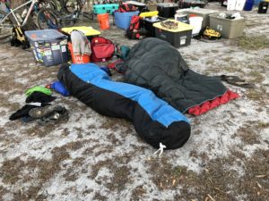
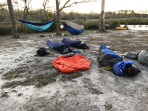
So we stuffed our faces, got our sleeping bags, and joined the dozen or so racers that were already sleeping around the fire pit.
So at around 2:15AM… Sleep!
Gold Head Foot (6.8km / 4.3 miles) and Boat (2km / 1.25 miles)
When I first laid down in my sleeping bag at around 2:15AM I remember thinking, “There’s absolutely no way I am going to be able to get any sleep.” Then, the very next thing I knew, it was around 4:30AM and Ron was tapping me to wake up, we had to go. I had been out cold for two hours.
So it was 4:30AM and Ron informed that if we wanted to be allowed to do the next section, we had to start it before 5:00AM.
The next section took place right at Gold Head, and it went like this…
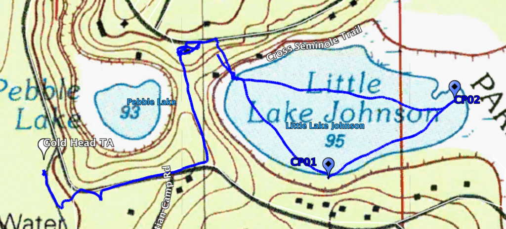
There were two short orienteering sections, and one short boat section. Teams had to split up to do the two orienteering sections, then meet at the boat section to do it together. Since Lori and I were one team, and Ron and Jonathan were another team, we split up into Ron and Lori (who took foot section 2), and me and Jonathan (we took foot section 1).
Foot section 1 had six CPs. After quickly finding CP01, we had a bit of a tough time getting our bearings on our way to CP02. The map and the trails were not incredibly accurate. But eventually we got ourselves straight and found all the CPs. We did have a hard time with CP04 because it was misplotted on the map. If we had attacked it from the north we would have found it quite easily. But we attacked it from the south, and because it was misplotted, we spent a good amount of time looking for it.
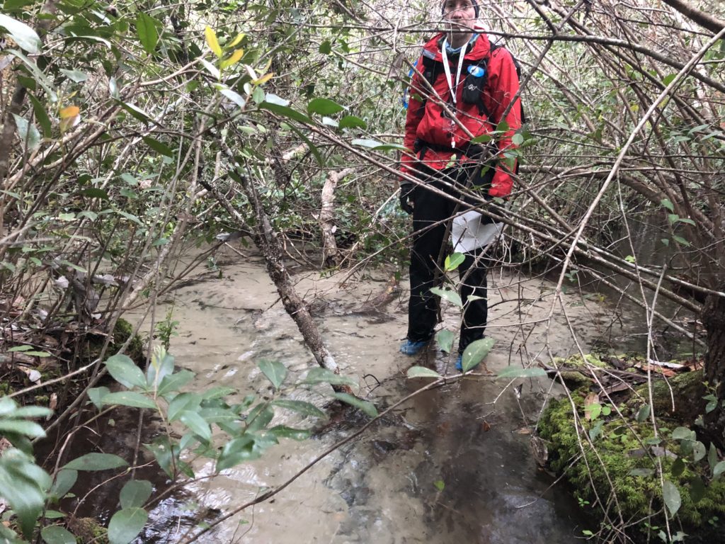
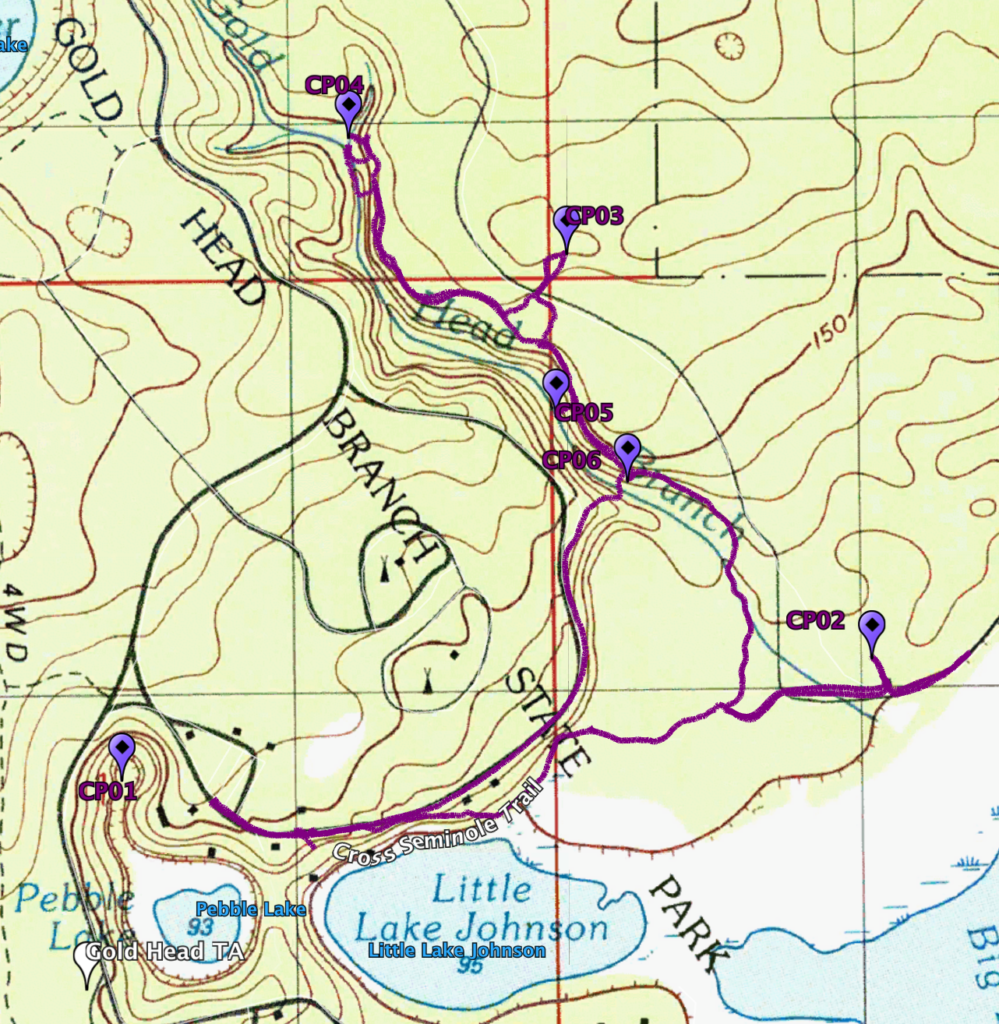
We arrived the the boat section at the same time that Ron and Lori did. So our time wasted looking for CP04 didn’t matter.
We then quickly picked up the two CPs in the very short boat section, and we were done.
Bike 05 (20km / 12.5 miles)
[map 28, 29]
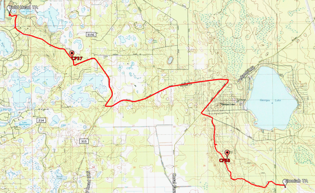
Back at Gold Head TA we transitioned into our bike gear and once again, we hit the road on our bikes, looking for two CPs on our way to the Ethonia TA.
This was a pretty straight forward bike section with some nice single track along the way. We were somewhat rested so we rode well and again, tried to keep a steady pace throughout.
We arrived the the Ethonia TA at around 11:30AM.
Trek 07 (20km / 12 miles)
[map 29, 30, 31]
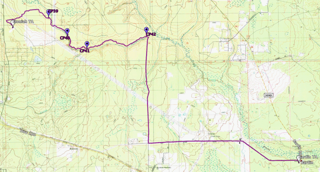
At the Ethonia TA we dropped off our bikes, put on our trekking shoes, and quickly left.
This trek was one of the most beautiful treks I have ever done in a race in Florida. Honestly, the terrain was such that it’s hard to believe it was actually Florida.
We trekked along Ethonia Creek, which was truly breathtaking. At some points the creek was far, far below us. I took a bunch of photos, but the depth perception will not do them justice. Again, it really was hard to believe we were still in Florida.
During this section we joined a bunch of teams that were all basically together. Some of them were teams All Toenails Go To Heaven, Of Mountains and Men, Xterra, Satellite 1, and others. It was a long, and actually somewhat hot section, but a lot of fun. We arrived at Bardin TA at around 4:00PM.
Paddle 04 (14km / 8.8 miles)
[map 31, 32]
Into the water we go, literally…
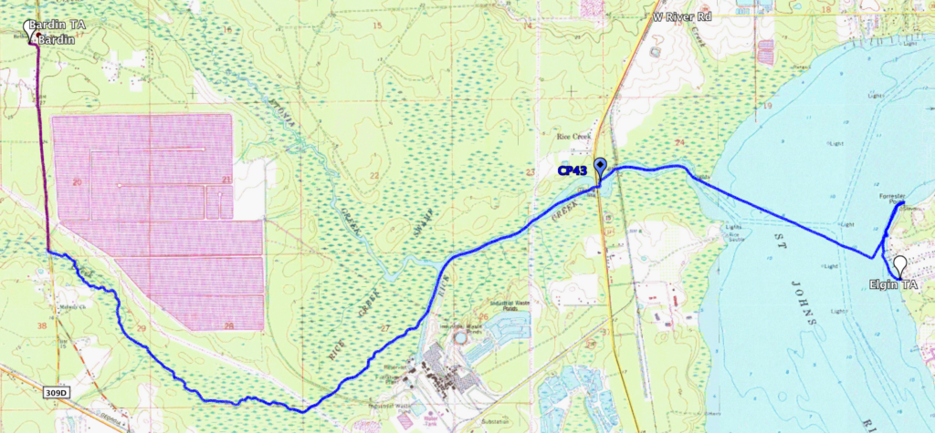
After a short break at Bardin TA to eat, replenish our supplies, and change, we headed a short distance down the road to the Rice Creek TA where the canoes where staged along Rice Creek. This should have been a nice, easy, peaceful paddle. Should have been. But once again, the dreaded deadfall reared it’s ugly head.
The first half of the paddle was littered with deadfall along the creek. Tons of fallen trees cutting of our access along the water. So several times during the first half of the paddle we had to get out of our boats, and drag them along the very muddy, rooty, shoreline and around the deadfall. If it was only once or twice it would have been no big deal, but we had to do it time and time again. Dragging the boats like that is very physically exhausting, let me tell you.
It was during one of these times, trying to get around a fallen tree, that Lori mi-stepped and fell completely into the water. The water was cold, and coupled with the dropping air temperature, that was not a good thing. This would turn out to be the coldest night of the race, in the low 40s, so getting wet was unfortunate.
And then it was my turn. Just like Lori, while trying to get over one of the fallen trees, into the water I went, all the way up to my neck. I don’t have any photos or videos of it, but one of the guys from team All Toenails Go to Heaven got me on video trying to get back into the boat.
Luckily Lori and I both had our rain jackets with us, which help greatly to keep the cold wind off us. So my bottom half was cold (very cold), but my upper body was ok, not great, but ok.
It got dark just before we started crossing the St. John’s River. And at around 8:15PM, we arrived at the Elgin TA after finding the one and only CP in this section under the bridge at SR17.
Bike 06 (17km / 10.5 miles)
[map 32, 33, 34]
When we got to Elgin TA Lori and I tried to warm up as quickly as we could. We jumped into Greg Owens truck, who was there volunteering and had his truck running with the heater on. Greg let me borrow a dry pair of socks to change into. We did not have access to our gear here, so we did not have any warm clothing to change into except what we had brought in our packs. Luckily we both had a couple dry t-shirts, which did the trick. My bottom half was still cold, but we didn’t have long to go before we had access to our gear bins and fresh, clean pants.
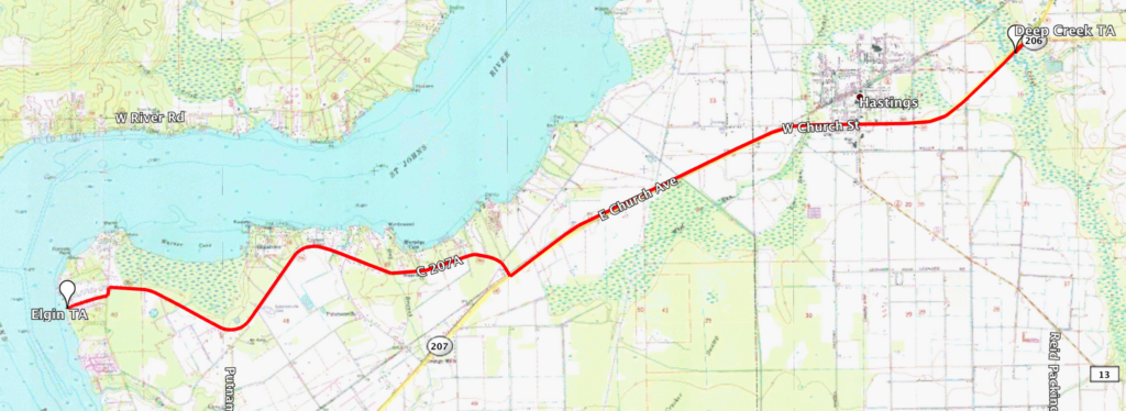
So we warmed up and took off on our bikes headed towards the Deep Creek TA. We were actually supposed to finish the boat section at the Deep Creek TA, but the RD had decided to cut that section off and instead have the teams bike to it. Thank goodness!
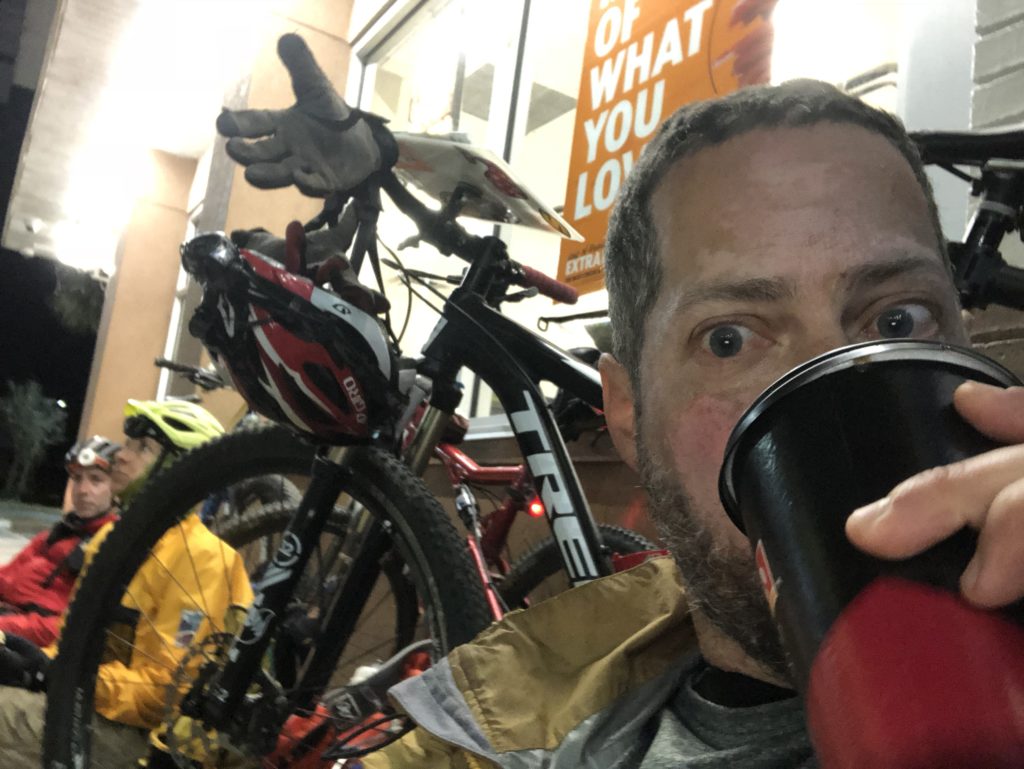
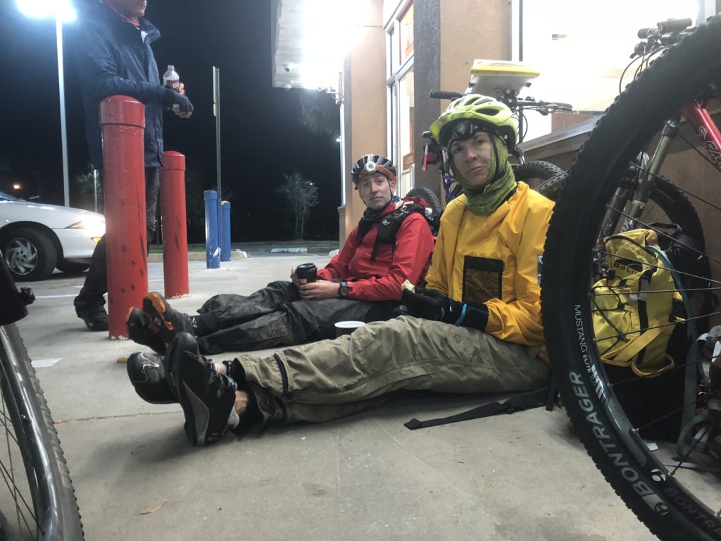
We arrived at Deep Creek TA at around 10:20PM, but not before stopping at a convenience store along the way and getting some much needed warm coffee and food! I ate a microwaved convenience store egg and cheese biscuit, loaded with ketchup. It was one of the most delicious things I have ever eaten. Or at least I thought so at the time. 🙂
Bike 07 (37km / 23 miles)
[map 35, 36, 37, 38, 39, 40]
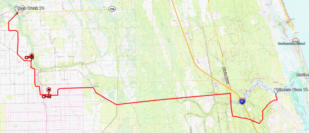
After finally changing into nice dry and warm clothes at Deep Creek TA, we once again left on our bikes heading towards Princess Place TA. Along the way we had a couple CPs to find.
By this time in the race, over 60 hours since we had started, the sleepmonsters were really, really catching up to me. I honestly barely remember this ride. I can tell you that I am pretty sure I was sleep-riding at least once or twice. At one point I told Ron to let me take the lead (the front position on our train of bikes) as that was the only way I could stay awake. Riding behind someone else was hypnotizing and only made me sleepier. By taking point at the front I had to concentrate on the road, which helped keep me awake, mostly.
The one thing that kept me going was knowing that once we arrived at Princess Place we would be able to get some much needed sleep thanks to the “Dark Zone” (which I will explain later). So we pushed on, and finally we made it to Princess Place TA at around 1:30AM on Sunday morning.
DARK ZONE!!
As I said, we arrived at Princess Place at around 1:30AM, and here we hit the much awaited “Dark Zone”. Also, food truck Sandy Bottoms was once again waiting to take our food orders.
A Dark Zone is a section during the race when all teams are put “on hold”. When they arrive at the dark zone they are not allowed to continue racing until a specific time later on. As teams arrive their times are recorded, that way no team loses their advantage over other teams. So the quicker you arrive at the dark zone, the longer downtime (rest time) you will have. Hopefully that made sense to non-racers reading this.
The advantage of the dark zone is that it allows the race organizers to assemble all the teams in the race in one spot. So whether the teams are really far ahead, or really far behind, they all end up at the dark zone together.
At around 2:15AM, I went to sleep…
Princess Place TA – Getting ready
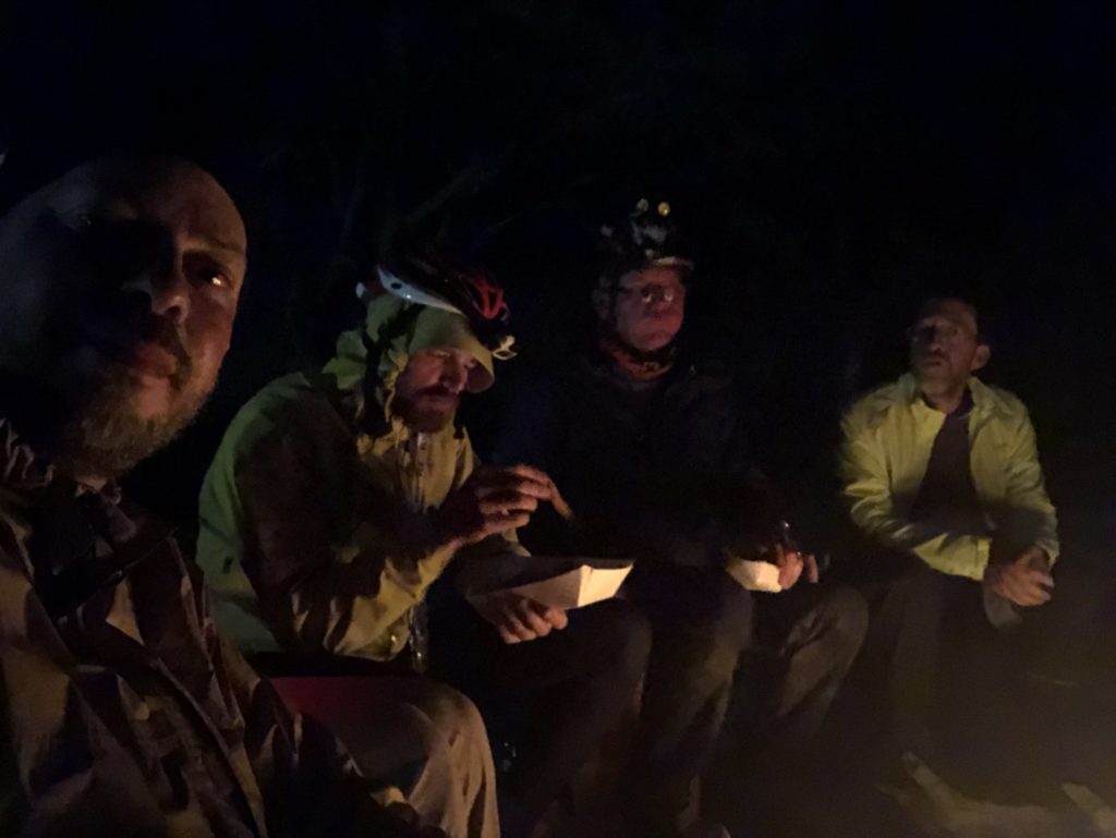
I woke up at 6:15AM, after a wonderful four hours of sleep. A lot of racers were still sleeping, while others were gathered by the fire telling tales abut the race so far.
We were told that the dark zone would be lifted at around 8:00AM, at which time all the teams would head on bikes towards the finish line, picking up a couple CPs along the way.
So everyone slowly got their gear put away and got ready for the last leg of the race. Everyone was very excited, and it was really cool to have all the teams here before that last push to the finish.
Bike 08 (51.6km / 32 miles) – to the finish line!!
[map 40, 41, 42]
Right around 8:00AM, off we went! All the teams leaving together on bikes. It was very cool!
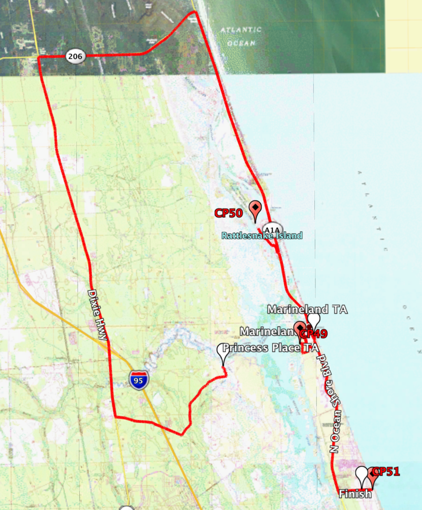
Our route had us going north on US1 to 206, then 206 to A1A, and back south towards the finish line in Palm Coast, with two CPs along the way.
Well, the wind that morning was flat out brutal, straight out of the north. I am sure it was gusting at 20mph, with a steady 15mph+. So as you can imagine, our ride north on US1 was interesting.
Since so many teams were together at this point, we formed a nice paceline and kept a great pace while rotating off the front. Everyone did their part. We made it to 206. Once there we had to deal with the nasty crosswind on our way to A1A.
But once we made it to A1A it was heaven! That tailwind was one of the best I have every ridden in. We were going so fast that I ran out of gears to use. It was a blast!!
We had a slight hiccup getting to CP49 and lost a few minutes looking for it. But eventually we found it, and a few minutes later we were coasting in towards the finish line!
FINISH!!!
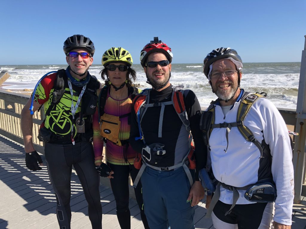
Almost exactly 72 hours after we started the race in Steainhatchee, FL, and after covering nearly 462km (287 miles) we finished in Palm Coast, FL.
As I said a the beginning of this report, I had done six of these races previously, and I had a lot of fun in those races, but this was by far the most fun one yet. Even though I am older and a bit out of shape, I enjoyed the race a lot more. The course was amazing. The other teams were awesome. And the volunteers and organizers were fantastic!
I want to really thank Ron and Jonathan, who kept us going, kept us laughing, and made the race that much more enjoyable. You guys rock! And of course, my teammate Lori who, as always, was an amazingly awesome race partner. Lori, you are a bad ass!
Here is the entire course, from start to finish…

Thanks for reading, and see you at the next one! – Manny

